• Skelmersdale Heritage Society
Skelmersdale Heritage Society
  • Home
  • A Brief History
  • Family History
  • Upcoming Events
  • Your Memories
  • Gallery
  • Documents
  • Member
  • Contact
  • Census Returns
    • Home
    • A Brief History
    • Family History
    • Upcoming Events
    • Your Memories
    • Gallery
    • Documents
    • Member
    • Contact
    • Census Returns

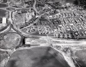
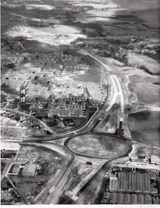
Half Mile Island 1969

Read more →

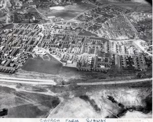
Church Road, Kiln lane and High Street 1969

Telephone Exchange top left. St Paul’s Church Top Right. New church Farm.

Read more →

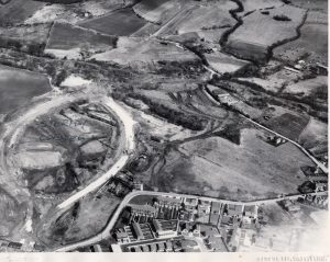
Church Road and New Church Farm 1969

You can see St Paul’s Church top left, then Trinity School. New Church Farm, St Edmund’s School and Crow Orchard School bottom right

Read more →

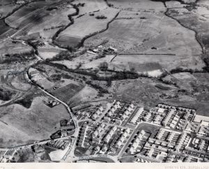
Mill Lane, Berry Street. 1969

Mill Lane is on bottom right and Berry street runs along the bottom. You can just see Crow Orchard school in the right hand bottom…

Read more →

Moorside Farm .

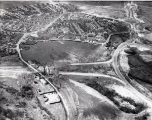
Moorside Farm ,Digmoor .Last farmed by George Green & family .Farm house is still occupied.
Read more →

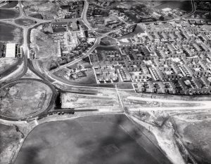
Berry Street, Mill Lane 1969

Read more →

New Church Farm 1969

Read more →

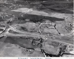
Stanley Industrial Estate 1969

Read more →

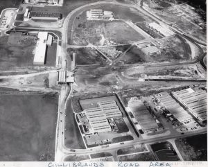
Gillibrands Road 1969

Read more →

Church Road, Kiln Lane, High Street 1969

Read more →

Posts pagination

Previous 1 2 3 Next

Like us on Facebook

Skelmersdale Heritage Society

Become A Member

Sign up and become a member of Skelmersdale Heritage Society and gain access to our Skemcast and newsletters.

Copyright © 2022 Skelmersdale Heritage Society

  • Privacy Policy
  • Terms & Conditions of Use
  • Login
Forgot Password?
Lost your password? Please enter your username or email address. You will receive a link to create a new password via email.
body::-webkit-scrollbar { width: 7px; } body::-webkit-scrollbar-track { border-radius: 10px; background: #f0f0f0; } body::-webkit-scrollbar-thumb { border-radius: 50px; background: #dfdbdb }